Alphubel
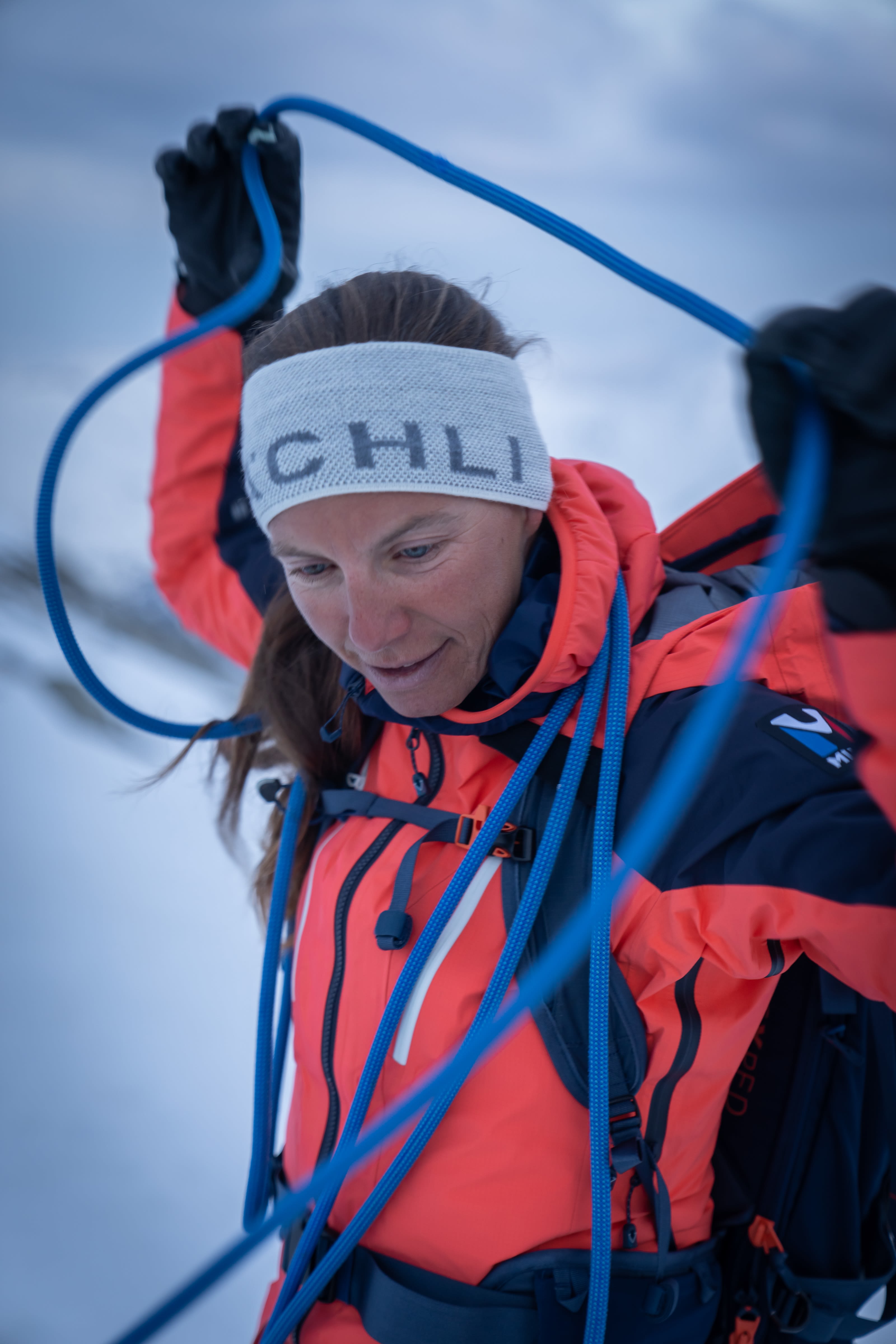
Closed up Bergsteigerin

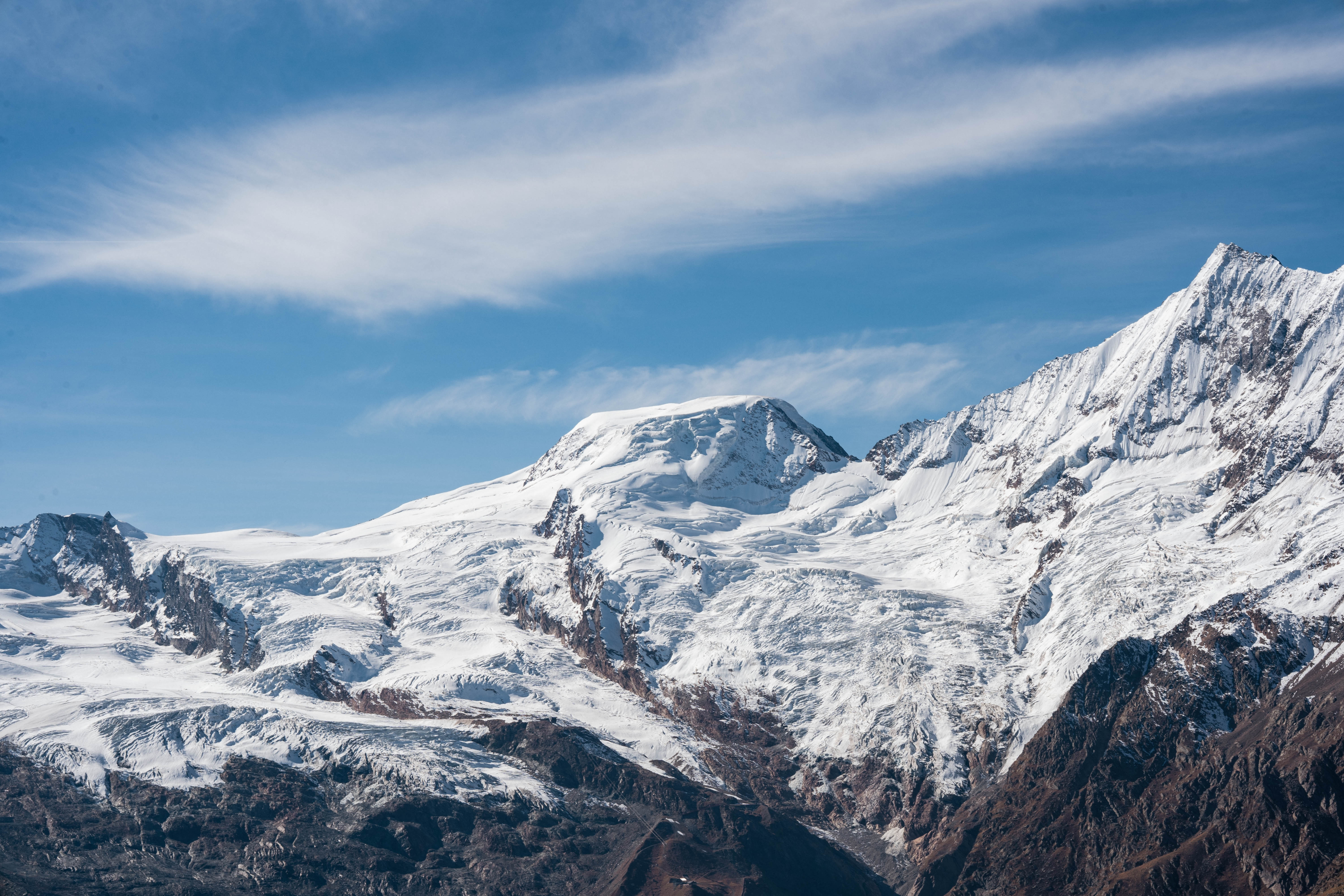
Alphubel 4,206 m asl

An ideal four-thousand-metre skiing peak

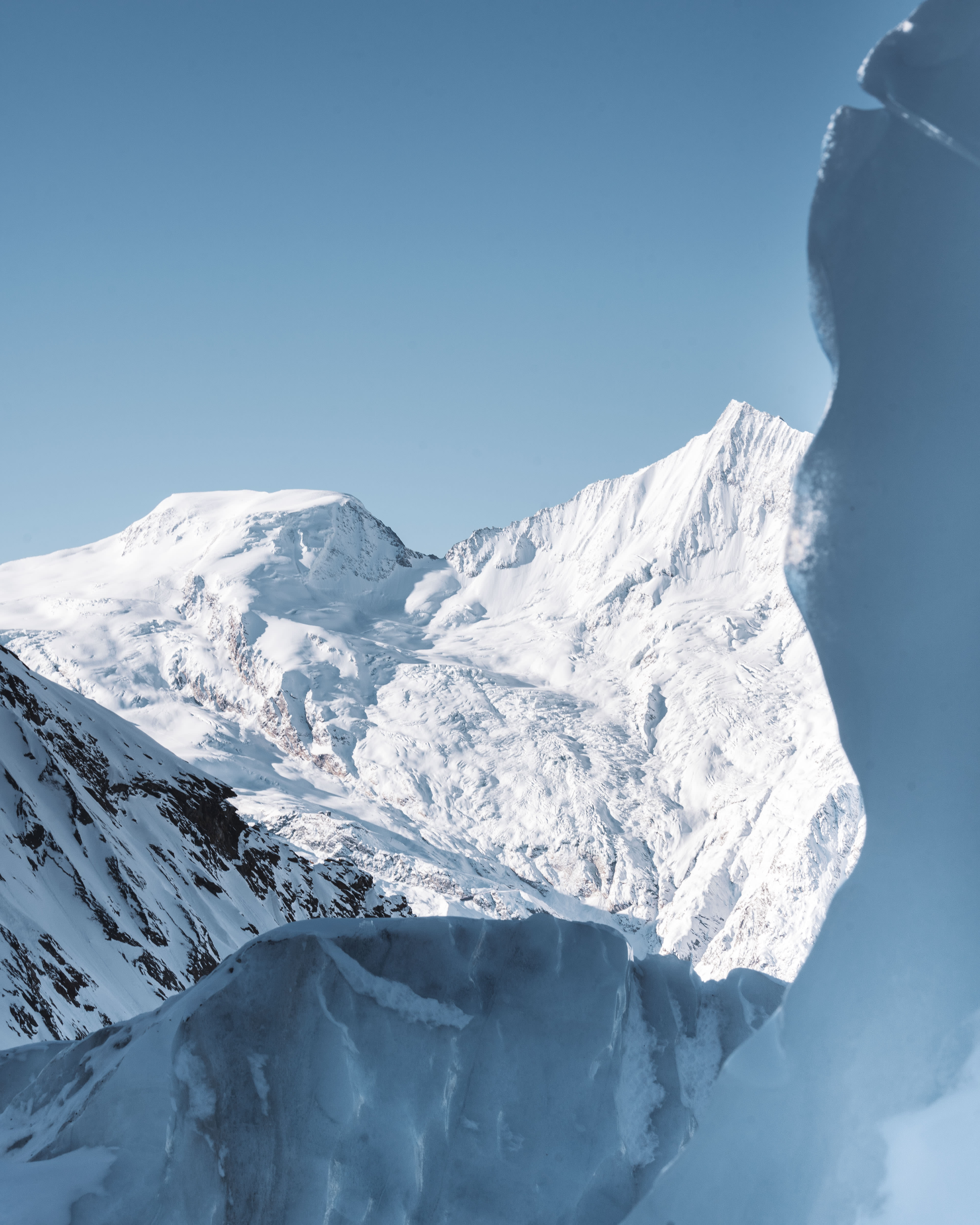
In the southwest of the Saas-Fee basin lies the Alphubel, a massive four-thousand-metre peak covered by a crevasse-rich glacier on the Fee side. The route up the Alphubel leads through a labyrinth of treacherous crevasses.


Key Facts: 

First ascent: 09 August 1860 by T.W. Hinchliff and Leslie Stephen with the mountain guides Melchior Anderegg and Peter Perren.

Altitude: 4,206 m asl

Routes:
    East side (normal route) Difficulty: WS
    Southeast ridge Difficulty: WS+
    West ridge Difficulty: ZS+

Special features & origin of name

It is a mountain with two faces: from Saas-Fee it almost looks a bit boring and presents itself as a boring snow hump. From the west, on the other hand, it presents itself as a wild rocky mountain with rugged walls and ridge pillars. On the origin of the name: In the case of Alphubel, which in 1840 was still called Alpenhügel von Fee, the interpretation is simple. Fun fact about the Alphubel: The German photographer, painter and enthusiastic mountaineer Albert Siebenmorgen (1894 - 1978) climbed the Alphubel at the age of 80.

 

Mountain and SAC huts nearby

Mountain guide offices

If you have any questions or would like to book a tour, the mountain guide offices in the Saas Valley are happy to help.

 To the mountain guide offices

Surrounding glaciers

Fee glacier

The Fee glacier is a glacier divided into two parts above Saas-Fee on the eastern side of the Mischabel group. It is about 6 kilometres long and covers a total area of 16 km². Large parts of the south Feegletscher belong to the Saas-Fee ski area.


Runway Längfluh

The short circular route in the sun with a view of the Alphubel.

To the route